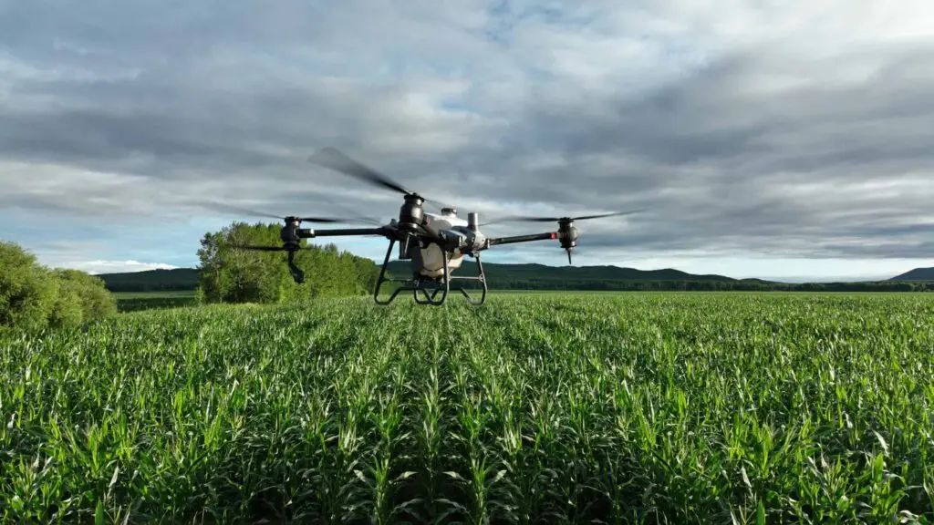
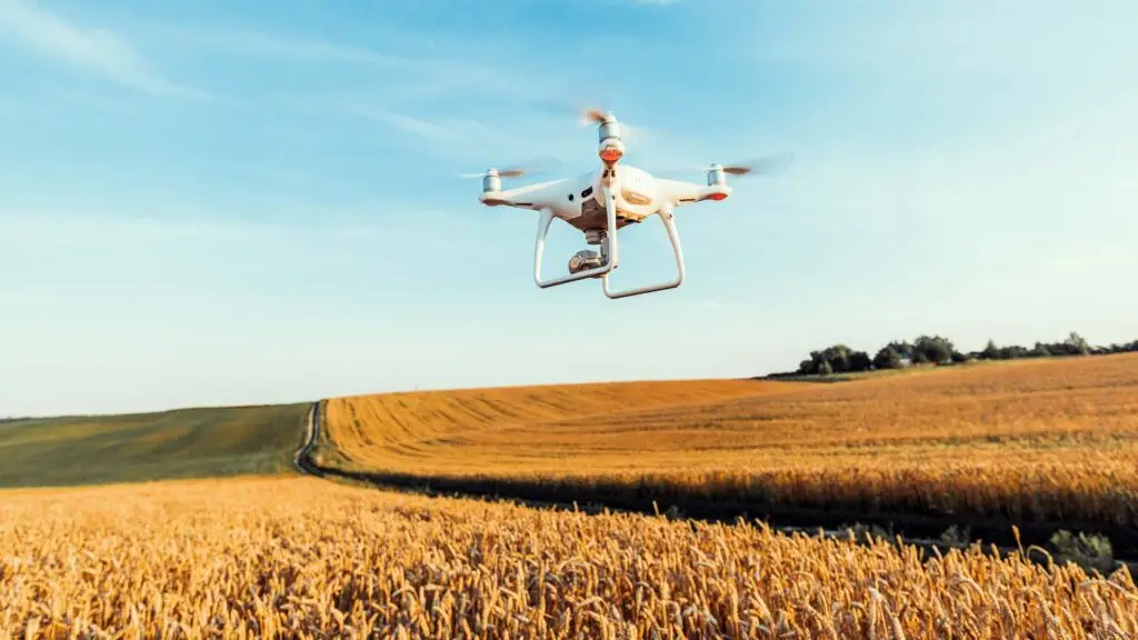
Drone photography has significantly revolutionised the way farmers and agricultural professionals monitor, manage, and optimise their land, livestock, and crops.
With the advent of drones equipped with high-resolution cameras and advanced sensors, farmers now have access to detailed aerial imagery that was previously unattainable.
This technology allows them to assess crop health with remarkable precision, identify and resolve irrigation issues effectively, and meticulously track livestock movement with unprecedented accuracy.
Furthermore, the vast amount of data gathered through drone technology enables more efficient resource allocation and early detection of potential problems before they escalate.
By providing insights that drive data-driven decision-making, this innovative approach ultimately leads to increased productivity, enhanced land management, and improved sustainability within the agricultural sector.
As farmers embrace this cutting-edge technology, they are better positioned to adapt to the challenges of modern agriculture, ensuring food security and environmental stewardship for future generations.